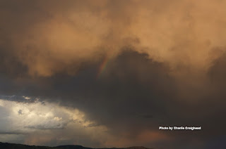
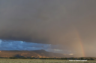
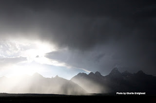
Late afternoon and early evening (between about 4:30 and 8:30 pm) on Friday July 27th there were some very cool looking cumulus clouds associated with thunderstorms around the Tetons & the Jackson Hole area.
Most of these would be classified as Cumulonimbus Mammatus Clouds. That is, they were of “cumulo-form” (tall & puffy)…… They produced some rain, so they also get the suffix “nimbo”…. And, they had the mammary shapes extending from their bases, thus “mammatus”.
| Photo by Scott Guenther |
The bulbous extensions beneath the clouds are indicative of strong updrafts and downdrafts within the thunderstorm. Whether or not the thunderstorm spits out rain or hail at that point depends on if the falling precipitation within the clouds can overcome the updraft speeds.
Below is a collection of photos sent to MountainWeather after the storm, and some that I captured while on a long hike through the Tetons that day, while on a patrol with some old Jenny Lake Ranger friends of mine.
Posted by meteorologist Jim Woodmencey
|
|||||
|
|


