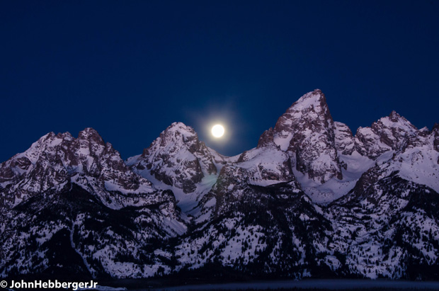
Welcome to Winter! The Solstice was December 21st, 2018, at 3:23 pm MST. One cool feature of this year’s Solstice is a full moon, or almost full. The peak of that full moon is on Saturday, Dec. 22nd.
Scroll down to see updated snow accumulation forecasts for Christmas.

Snow on Ground
This year on the Winter Solstice there is pretty good snow-cover across the Norther tier of the United States, especially in the northern & central Rockies, the Cascades of Washington and in British Columbia’s mountains.
Snow depths December 21st, 2018 below

Compare that to last year on the same day….
Snow depths December 21st, 2017 below

Last year on the Solstice there was more snow at lower elevations across the northern tier of the U.S. But similar depths in the mountains.
New Snow for Santa
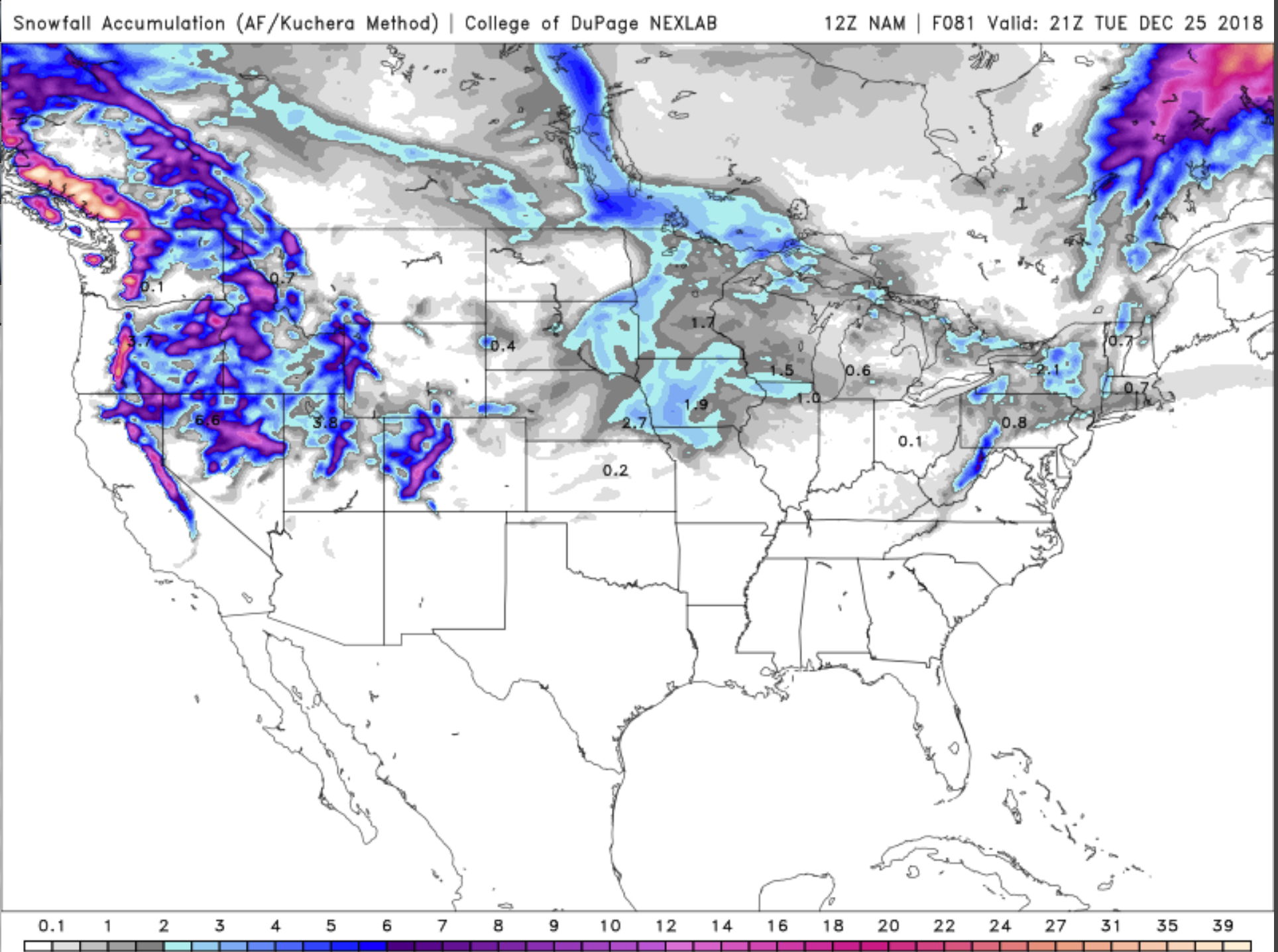
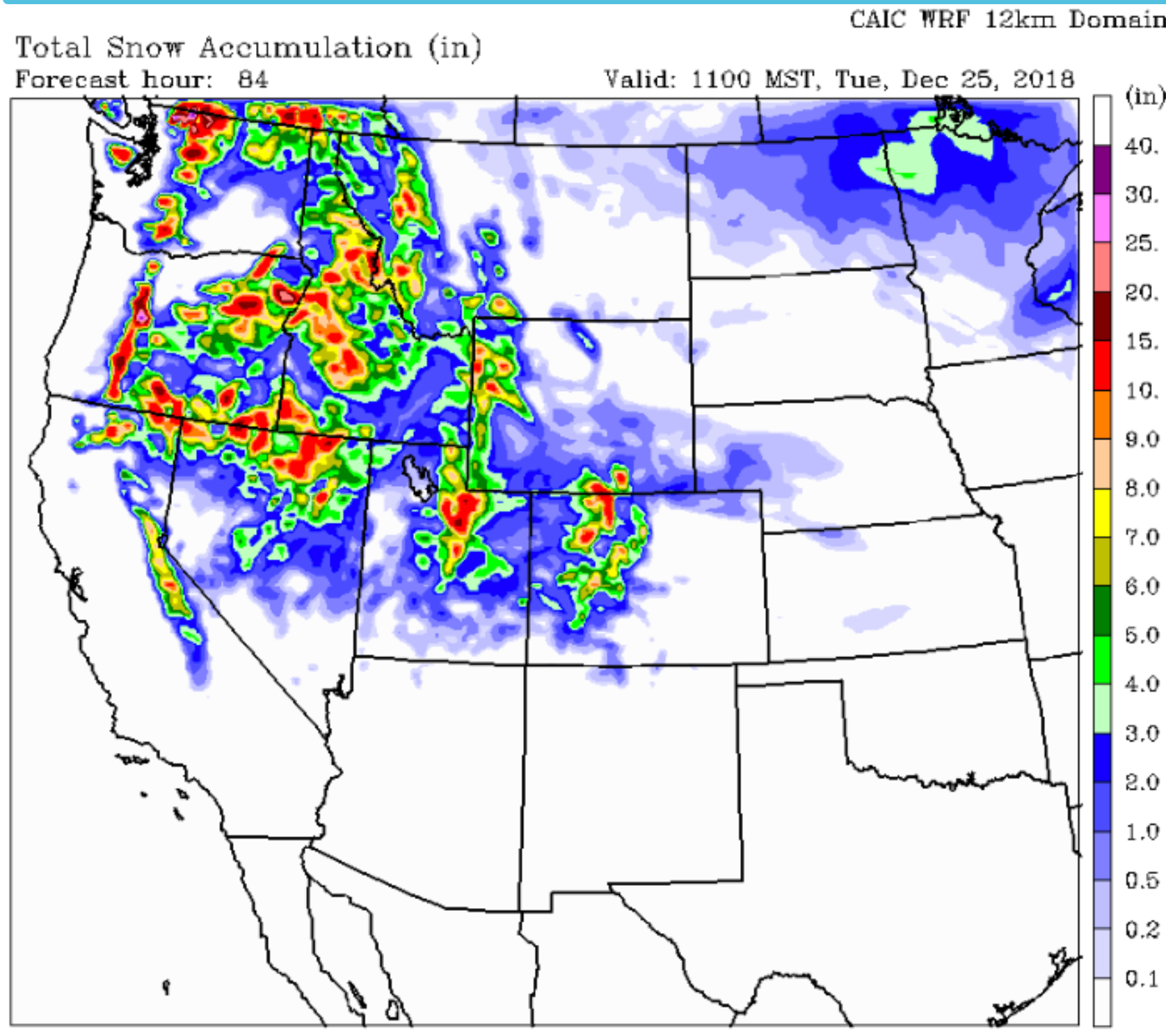
Below are a couple of different computer model forecasts of total new snow accumulation expected between Saturday and Christmas Day, December 22nd through December 25th.

Looks like coastal British Columbia’s mountains & parts of the higher Cascades could get up to two feet of new snow through Christmas Day.
Northern Idaho, western Wyoming, northern Utah and parts of Colorado’s Rockies should get at least 6 inches and some locations will see a foot or so of fresh snow. Most of which arrives Sunday & Monday.

This new snow is brought to us by a relatively strong Westerly flow that will be streaming across the northern tier of the United States this weekend.
Low pressure systems embedded in that flow, along with cold air pushing southward over the northern half of the U.S. will help assure a little more white stuff on the ground in the above mentioned areas, for Christmas Day.
Merry Christmas Everyone!
Post by meteorologist Jim Woodmencey

