 |
| Meteorologist Jim Woodmencey |
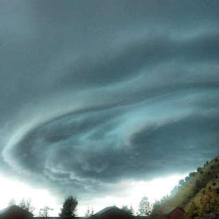
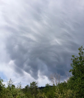
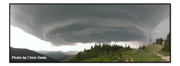
I received a number of very cool photos from the severe thunderstorm that passed through Jackson Hole on Wednesday afternoon June 12th. Below is a collection of some of those photos. There was also another strong thunderstorm the following evening, Thursday June 13th that produced strong wind gusts and some rain, while there were no reports of hail, there was apparently some damage done by falling trees.
Both of these thunderstorms were related to a Low pressure system that was moving across the Pacific Northwest and northern Rockies mid-week. (See maps, etc. from previous blog post). A cold front associated with that Low was in the vicinity of the Idaho/Wyoming border, pretty much was a stationary front on Wednesday and then that front passed across the Tetons on Thursday evening. Most of the more intense thunderstorm activity was occurring near this front.
Thanks to all who contributed to this collection!


