All posts by Jim Woodmencey
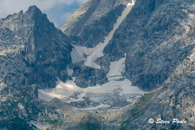
Skillet Glacier
Hot, Dry Start to Summer is Not Good for Fires
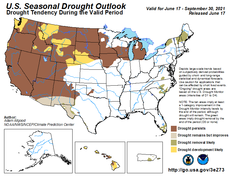
There has been much talk around Jackson Hole the past few weeks about the drought, the rising fire danger and how this summer is shaping up to be just like the Summer of 1988, when Yellowstone had 800,000 acres scorched by wildfires. Those fears have some validity, however, every summer’s fire season shapes up differently. It’s the weather we’ve had up to this point and the weather from here on out that will determine how bad a fire season we end up with.
Of course the Southwestern U..S. and California are already experiencing big wildfires, with extreme drought and record high temps in June and early July.
In this post, I’ll look at the set-up for a big fire season and look at the factors that contribute to large fire potential.
You can find updated Fire Weather and Drought info on the NWS Forecast Info page.
Satellite Image below shows smoke from Fires in Northern California streaming over Idaho & Western Wyoming. 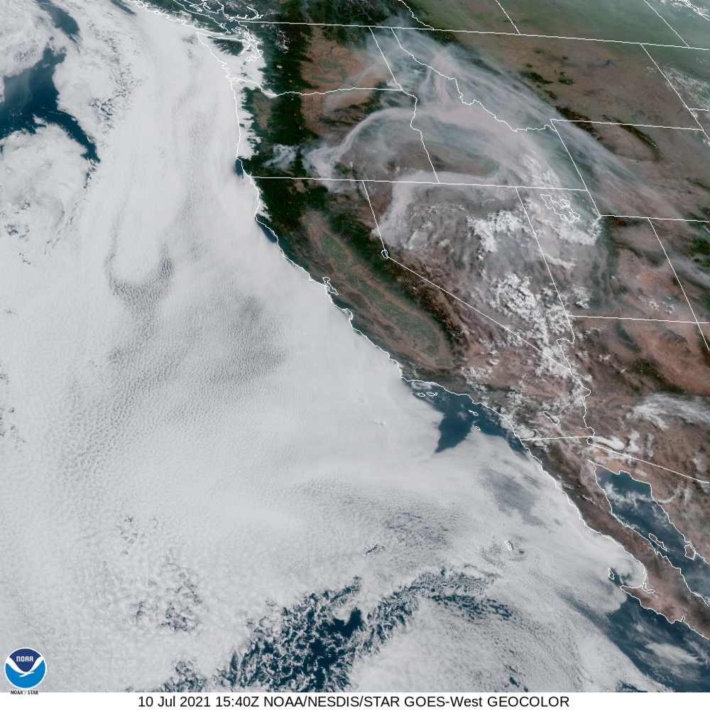
Spring Lead-in
The Spring of 1988, March, April and May combined, was wetter than this spring was, in both Yellowstone Park and in Jackson Hole. In Spring 1988, the three-month total precipitation in Jackson was 4.79 inches, which is above the norm of 4.17 inches. The Spring of 2021 was just below normal, at 3.84 inches, almost an inch less than the total in 1988.
June Precipitation in Jackson was similar to 1988, with only 0.33 inches of rain, an average June would see 1.63 inches . June of 1988 had 0.35 inches of rain. So, you could say, this June was drier than in 1988. Big difference is, June of 1988 was much warmer than this June of 2021
Suffice it to say, we are beginning this year’s fire season in a very similar fashion to 1988, it’s been plenty warm and dry. Going forward, two things will determine how bad this fire season will be, the weather and people.
Human vs. Lightning Caused Fire
Wildfires are part of the natural ecological cycle; they are essential for maintaining a healthy forest. Only about 20-percent of all wildfires are naturally caused, regrettably, the remaining 80-percent are human caused. So, we have identified the enemy, and it is us!
Improperly extinguished campfires, fireworks, powerlines, errant trash or brush burning are the leading causes of human wildfire starts. The Green Knoll Fire in 2001 and the Horsethief Fire in 2012 and examples of large wildfires that were started by humans.
In 1988, Grand Teton National Park only had two major fires, the Huck Fire, near the southern border with Yellowstone and the Hunter Fire, off the Antelope Flats Road near Shadow Mountain. Combined, these two fires burned about 125,000 acres. Neither of these were natural starts, it’s believed they were started by powerlines.
Lightning, of course, is Mother Nature’s matchstick. Many of the larger fires within Grand Teton National Park over the years were started by lightning, most notably, the Beaver Creek Fire near Taggart Lake in 1985, the Alder Fire in 1999 that nearly torched Jenny Lake Lodge, and the Berry Fire in 2016 that jumped the north end of Jackson Lake and made a run towards Flagg Ranch.
With all of these fires, the common denominator that made them grow so big and act so erratically, was the wind.
Wind is the Adversary
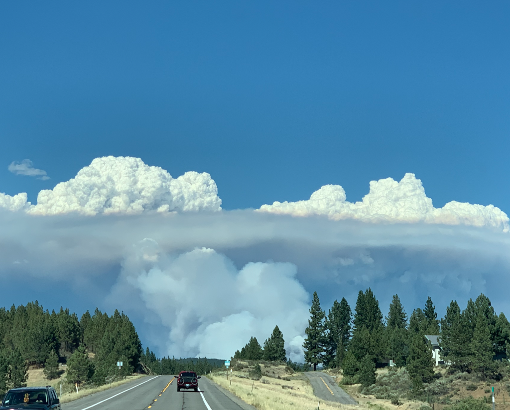
Hot and dry weather are not the only requirements for a big fire season. That certainly helps, but almost every big fire in the history books got big because it got windy.
Smoldering coals in a campfire ring or a lightning-struck tree can be brought back to life with a little wind. Continuous strong winds can then fan and spread flames in a rapid and efficient manner, creating a full-on firestorm. Wind is the bane of all firefighters.
Almost every tragic fire disaster involved a shift in wind direction or an increase in wind speed. Going back to the 1937 Blackwater Creek Fire, west of Cody, Wyoming where 15 firefighters lost their lives, the Mann Gulch Fire in Montana in 1949 that killed 12 smokejumpers, the Storm King Mountain Fire in Colorado in 1994 that took another 14 firefighter’s lives. More recently was the blaze Near Yarnell, Arizona on June 30, 2013, that claimed another 19 firefighters.
In a more urban setting, what started as an unextinguished grass fire in the hills near Oakland, California in 1991, quickly spread into brush and residential areas. That fire trapped and killed 25 people, among those was a good friend, Leigh Ortenburger, the original author of, The Climber’s Guide to the Teton Range.
All of these fatal fires were the result of rapidly changing winds.
July-August Fire Outlook
We should take this fire season seriously, maybe forego the usual campfires or be damn sure they are out! Be cognizant of anything that can throw a spark, like a chainsaw, the lawnmower or shooting guns for target practice. Do everything humanly possible to prevent forest fires and 80-percent of the problem will be solved.
For the other 20-percent, it all depends on the weather. In an ideal situation, if we have a very dry summer with no thunderstorms, then perhaps we’d have no natural fire starts. That’d be a long-shot bet.
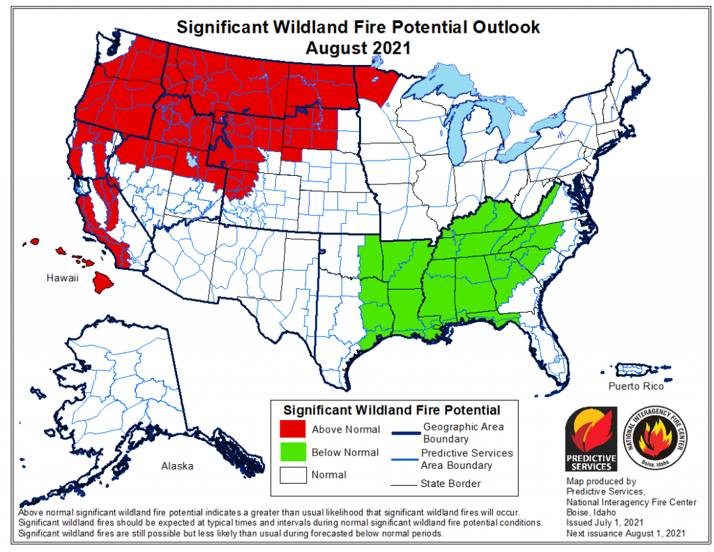
According to the Significant Wildland Fire Potential Outlook map, Teton County, WY and much of the West & Rockies goes into the “above normal” potential category for this July and August. That means we’ll need to be very vigilant about the human causes of fire and get really lucky with the weather, to avoid any kind of repeat of the Summer of 1988.
Post by: meteorologist Jim Woodmencey
Some of thispost originally appeared in the Jackson Hole News & Guide
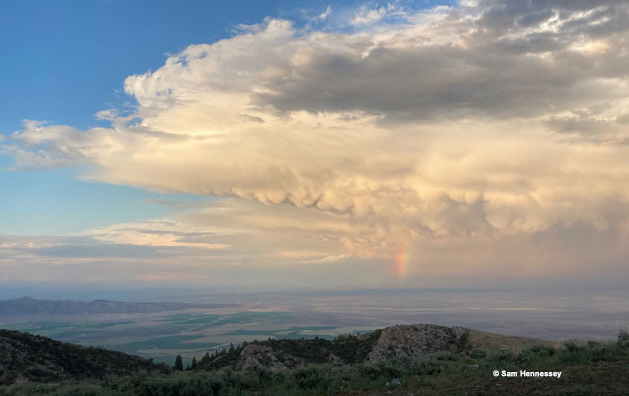
Thunderstorm
Mammatus Clouds
Green River Lake
Jackson Hole Spring 2021 Weather Re-Cap
Jackson Hole, WY was looking at a dry spring with well below normal precipitation in both March and April 2021. Early May brought some rain and snow, but it was really the 8-day period between May 18th and 26th that saved the day. May ended up well above normal in the precipitation department and brought the spring’s total precip back up close to normal.
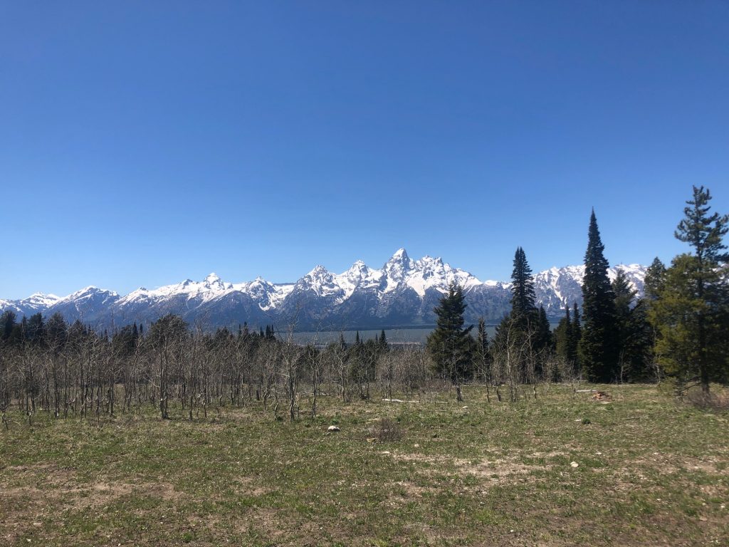
Town Precipitation
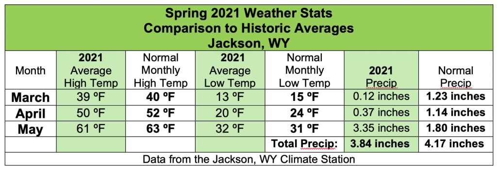
Total Precipitation for the Spring Season, March, April and May 2021 was 3.84 inches. Normal total precipitation for these three months is 4.17 inches. Therefore, this spring only fell short by about a third of an inch (0.33 inches).
For the year so far, 2021 is very close to normal for total precipitation in town. January through May 2021 total stands at 6.49 inches. That is just 0.32 inches short of the historic average precipitation for the first five months of the year of 6.81 inches.
Town Temps
Every month this spring was colder than normal. Average monthly highs each month were one or two degrees colder than the long-term historic averages.
March and April 2021 saw monthly average low temperatures two to four degrees colder than normal, with the exception of May’s average low temperature, which ended up one degree above average. (Technically it was less than a half a degree warmer, 31.6 degrees, rounded up to 32. The historic average low temp in May is 32-degrees).
One other note, on May 9th, 2021 Jackson set a new low temperature record, with a morning low of 12-degrees. The old record for that date was 13-degrees, set back in 2002.
The table below outlines all the weather stats this spring from the Jackson, WY Climate Station.
Jim is the chief meteorologist at mountainweather.com and has been forecasting the weather in Jackson Hole and the Teton Range for the last 30 years.
Stormy Moran
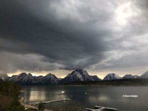
NE side of Moran
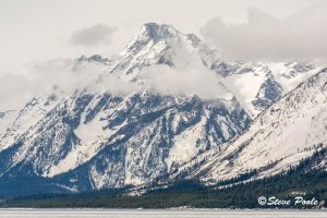
Tetons Emerge from Clouds
