|
| Meteorologist Jim Woodmencey |
(Note: The content in this post first appeared in the MountainWeather column in the Jackson Hole News & Guide on July 6th, 2016).
July begins the heart of the “Thunderstorm Season” in the Rockies. It is also the peak of the tourist season, climbing, backpacking, & baseball seasons, etc. etc. . That means more people will be outdoors enjoying the weather, and potentially getting caught in thunderstorms.
In this post I will describe how thunderstorms work, and what to watch for when you are outside during the day. Those telltale signs that dangerous thunderstorms may be developing. I will follow this post with a subsequent one on lightning safety.
Moist and Unstable Air
Most of us would probably describe a “typical summer day” as: Clear blue skies in the morning, followed by some puffy cumulus clouds in the afternoon, and maybe a chance of some afternoon thunderstorms.
How big or ominous those cumulus clouds become will depend on two things:
1) How much moisture is in the air. 2) How unstable the air is.
1) How much moisture is in the air. 2) How unstable the air is.
That clear blue sky that you see in the morning actually contains some moisture, in the form of invisible water vapor. As the day goes on, and the ground heats up, the air begins to rise. As the warmer air rises higher into the atmosphere it encounters colder temperatures, and the invisible water vapor condenses into visible water droplets.
If the air keeps rising, cooling, and condensing, then water droplets start to gather together, and clouds appear.
Relative humidity (RH) is one way to measure how moist the atmosphere is. For thunderstorm development, it can still be very dry in the lower levels of the atmosphere, with low RH. But at the same time, high RH may exist in the upper levels of the atmosphere, which is enough to perk up thunderstorms once there is enough instability.
How unstable the atmosphere is will depend on the difference in temperature between the ground and the upper levels, like up around 20 to 25,000-feet. The bigger the difference in temperature, the more unstable the air is, that is, it must be warmer down low and colder up high to be unstable. Think, “hot air rises”, that’s instability.
If the air isn’t rising, or if temperatures aren’t very cold aloft, or the atmosphere is staying bone dry up through 25,000-feet, then all we see is clear blue skies, all day.
Be Observant
There are a few things to keep an eye on to determine if those little white puffy clouds are going to develop into full-blown thunderstorms on any given day. Watch the sky for these signs of impending thunderstorms:
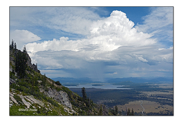
1) The first puffs of cumulus appear before noontime.
2) The individual cumulus clouds start gathering together and growing vertically.
3) The base of the cloud gets darker, indicating the clouds are growing taller.
4) Taller clouds, darker bases and more of the sky covered by those clouds, the greater the potential for heavy rainfall, hail, and/or strong gusty downdraft winds. And of course, lightning.
However, don’t be lulled into thinking that clouds and thunderstorms can only develop during the afternoon hours. There are many days that don’t fit this “typical” summertime thunderstorm scenario.
 Thundertorm Enhancers
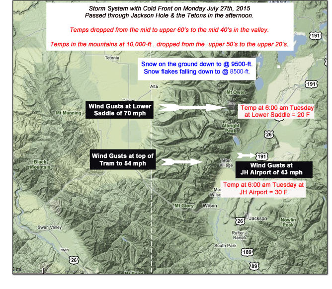
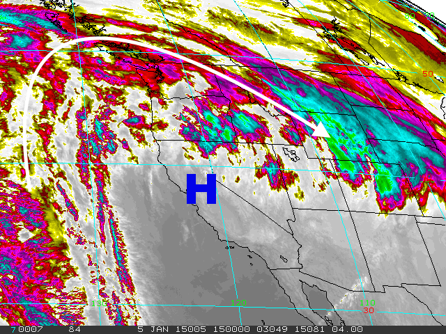
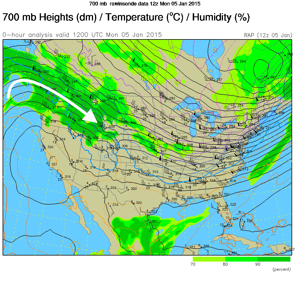
Storm systems, otherwise known as low-pressure systems, will periodically roll across the Rockies in the summer, and these will add additional moisture & instability to the atmosphere.
Often associated with a low-pressure system, is a “cold front”. Cold fronts produce more lift and give a boost to the instability. Some of the more potent and violent thunderstorms we see are directly related to the passage of a cold front.
The last thing to be aware of is, the “summer monsoon”. In brief, the Desert Southwest Monsoon is a seasonal wind flow pattern that brings very moist and unstable air up from central Mexico, across the Four-Corners Region, and sometimes that monsoon moisture gets circulated as far north as Northwest Wyoming.
Thunderstorms associated with the monsoon are some of the most random that we will see in the summer, and can occur any time of the day or night.
Whenever you experience a thunderstorm in the middle of the night or just after sunrise – when the afternoon heating is not really a factor– it is very likely that a storm system, a cold front, or the monsoon is triggering the thunderstorm activity.
Keeping an eye on thunderstorm development is of paramount importance to anyone who is spending the day outside. If the clouds develop into lightning-producing thunderstorms, then you are at risk of being injured or killed by a lightning strike; whether you are climbing the Grand, playing a around of golf, fishing the river, or out on the lake or ball field.
Jim is the chief meteorologist at mountainweather.com and has been forecasting the weather in Jackson Hole and the Teton Mountains for almost 25 years.